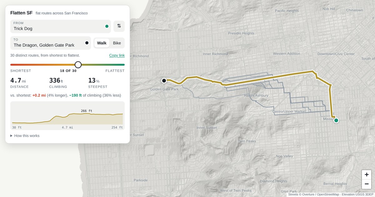
Find the flattest route between any two points in SF
A new tool developed by researchers at XYZ University offers a way to calculate the flattest possible route between any two locations in San Francisco. By analyzing elevation data, the algorithm prioritizes paths with the least vertical change, making it ideal for cyclists, hikers, and commuters who prefer gentle terrain. The solution, released on Hacker News, could improve navigation apps and city planning.